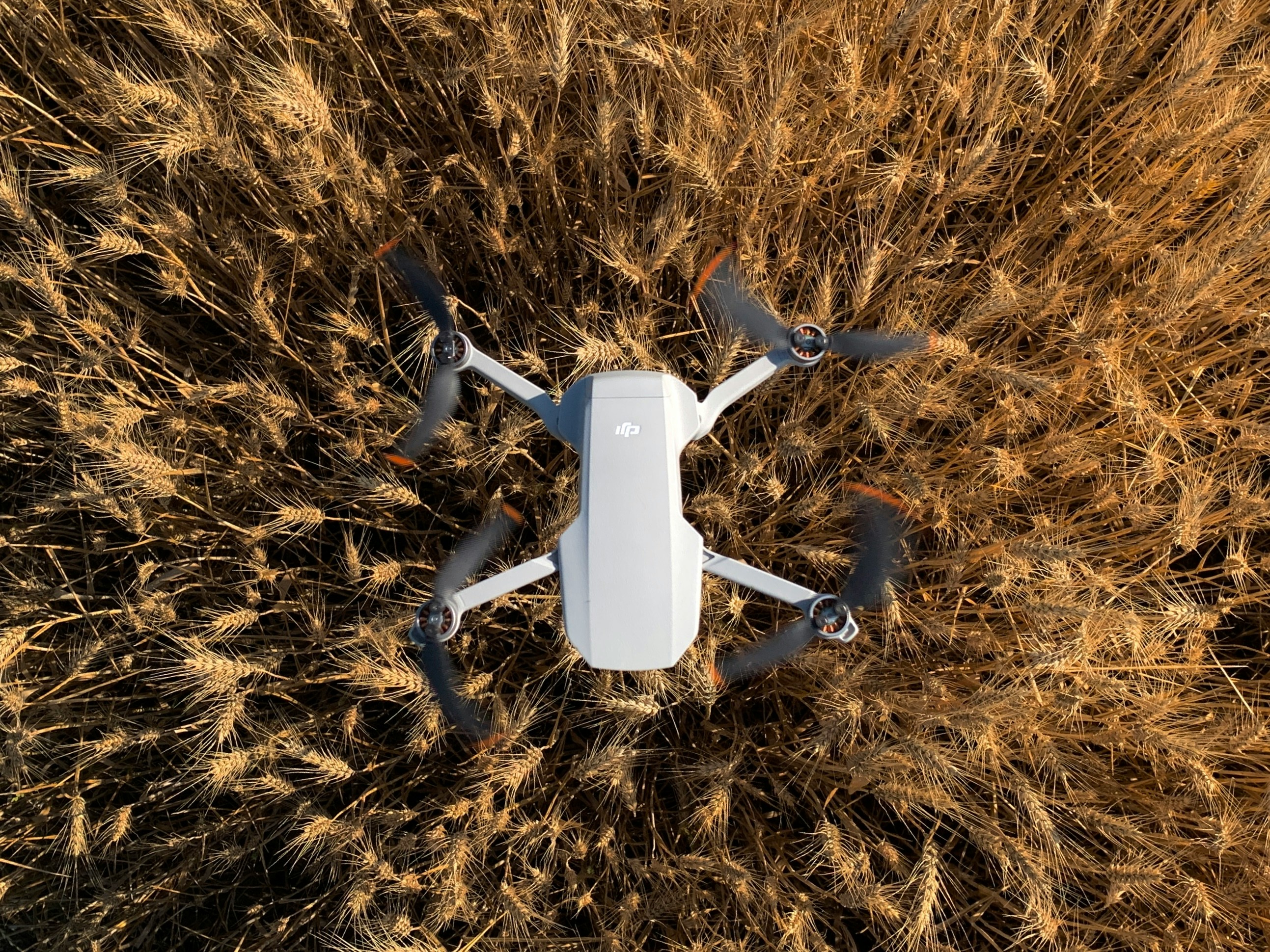
As combines roll across the plains around Bismarck this October, farmers are not just harvesting grain — they’re harvesting data. Thanks to recent grant funding and cost-share programs, high-tech tools such as drones, soil sensors and precision mapping systems are seeing their most visible use in the field this harvest season.
Harvest impacts ripple through the local economy
Harvest season is critical in central North Dakota. Crop yields, input costs and efficiency directly influence farm income, supply chain activity, and local equipment dealers. In a region where margins can be thin, even small gains in efficiency can cascade into stronger rural economies around Burleigh and Morton counties.
Why October? Timing meets funding & field conditions
Many NRCS/EQIP cost-share programs set application cutoffs in late summer; farmers approved then often deploy equipment by fall.
The state recently opened a $7.5 million Autonomous Agriculture Grant Program to accelerate adoption of drones, autonomous systems and precision tools across North Dakota — proposals were due October 2.
The ND Department of Agriculture also awarded a $300,000 grant for drone detection of noxious weeds in targeted counties, part of a larger effort to integrate UAS (uncrewed aerial systems) into precision ag practice.
Weather, moisture, crop maturity, and field access are optimal in October — making drone flights, sensor readings and mapping operations more reliable and actionable.
Drone spraying, rock mapping, and field scouting
Pro Ag Solutions, based in Bismarck, is one local company already offering drone services: spraying, variable-rate fertilizing, field mapping and even rock detection mapping using TerraClear technology.
One of their innovations: using drones to map rock distribution (via AI analysis of imagery) so rock pickers can remove stones more precisely — reducing equipment damage and downtime.
Elsewhere in North Dakota, aerial applicators set a new record in 2024: 5.5 million acres treated, including 70,000 acres via drones.
In the recently funded weed surveillance project, drones flown over fields in five counties (Steele, Traill, Cass, Richland, Barnes) will help build imagery libraries for species like Palmer amaranth and waterhemp.
We started drone scouting years ago just for mapping, but now we’re pulling real actionable prescriptions in-season,” says Cory Palm, founder of Pro Ag Solutions in Bismarck.
“Over time, the ROI comes from avoiding over-application, reducing passes, and preventing yield loss in trouble zones.”
Improved efficiencies may lower local input demand variability, stabilize farm incomes, and support supply chain firms in the Bismarck region.
Harvest yield reports from farms using precision tech vs. traditional management — data likely trickle in next months.
Grant awards announcements from the Autonomous Agriculture Program (ND) will highlight early adopters in central North Dakota.
Public-private demonstrations or field days in October/November, showcasing drones, soil sensors, and analytics in action.
This fall marks more than just the gathering of grain—it’s the harvest of precision, insight, and efficiency. Near Bismarck, the adoption of drones, sensors and mapping systems is not futuristic — it’s now. As farmers integrate these tools, they may reshape margins, reduce waste, and anchor stronger economic growth in rural North Dakota.


